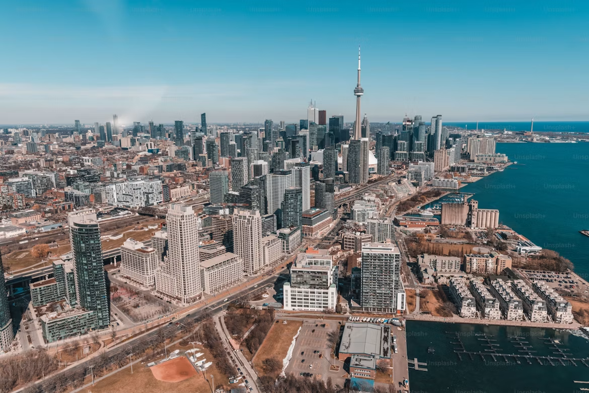
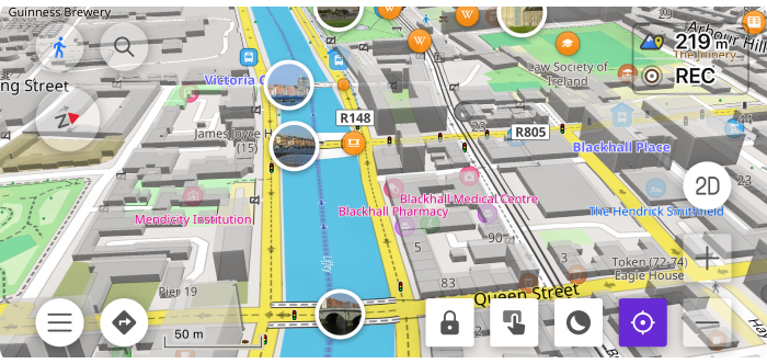
Avalanche Slope Colors
OsmAnd's Topography plugin offers an Avalanche color scheme for the Slope layer, coloring terrain by steepness to highlight potential avalanche risks. This visualizes slope angles intuitively for safer backcountry navigation.

OsmAnd's Topography plugin offers an Avalanche color scheme for the Slope layer, coloring terrain by steepness to highlight potential avalanche risks. This visualizes slope angles intuitively for safer backcountry navigation.

Happy New Year from OsmAnd!
As we welcome 2026, we reflect on an exciting year behind us — one that marked OsmAnd's 15th anniversary and introduced major innovations to our navigation experience. Among the most significant milestones of 2025 was the launch of our new fast offline routing, designed to make your routes smoother, calculations quicker, and travel even more efficient — no internet connection required.
This breakthrough, together with continuous design improvements and enhanced usability, brought OsmAnd to a new level for millions of users worldwide. Now, as we move into 2026, we're ready to build on that foundation, shaping the future of navigation with even smarter, more connected solutions.
The journey continues — and we're thrilled to have you with us.

OsmAnd 5.2 for iOS — Now Available!
We're excited to announce the release of OsmAnd 5.2 for iOS! This update delivers powerful customization and clarity improvements. Key features include the new Marine Map Style for nautical navigation, Custom Button Binding for external controllers to map any Quick Action, and enhanced map display with text outlines for all widgets and a precision grid for aligning map buttons. Download now for a smoother, more personalized experience!

We’re excited to announce OsmAnd 5.2 for Android!
This update brings extended Marine map style, detailed search results, improvements for travelers and drivers, and reliable cloud autosync for your data — plus lots of other enhancements to make navigation even easier.
Thanks for choosing OsmAnd as your mapping companion!

Hi everyone,
Today is a special day — OsmAnd is turning 15. An incredible number! It feels like we were just writing posts about our 5th anniversary and 10th anniversary, and now, it's already been fifteen years. Time flies when you're passionate about what you do.
Looking back, I realize that the magic of OsmAnd isn't just about code or maps. Above all, it's about people. And today, I want to give a huge, sincere thank you to the three main communities without whom none of this would be possible.

The new Android update is here!
We've improved the interface, made settings easier to manage, and added new features to make your everyday navigation with OsmAnd even more smooth and enjoyable.
Thanks for using OsmAnd — safe travels!
OsmAnd 5.1 for iOS is out now!
We’re excited to bring you the latest update — OsmAnd 5.1 is now available on the App Store. This version includes interface improvements, easier widget configuration, and new features to make exploring even more intuitive.
Download the update and enjoy a better, smoother OsmAnd experience.
Thanks for being with us — safe travels!
Offline navigation is a lifeline for travelers, adventurers, and everyday commuters. We demand speed, accuracy, and the flexibility to tailor routes to our specific needs. For years, OsmAnd has championed powerful, feature-rich offline maps that fit in your pocket. But as maps grew more detailed and user demands for complex routing increased, our trusty A* algorithm, despite its flexibility, started hitting a performance wall. How could we deliver a 100x speed boost without bloating map sizes or sacrificing the deep customization our users love?
OsmAnd is about to turn 15, and as we approach this milestone, we’d like to share the results of our journey so far.
First and foremost, we want to thank our users — your feedback has been incredibly valuable and continues to shape our development.
From the beginning, OsmAnd has been powered by the OpenStreetMap (OSM) project — a global, collaborative initiative to create a free and editable map of the world. Thanks to this incredible community, OsmAnd is more than just a navigation app — it's a powerful tool for offline maps, route planning, outdoor exploration, and global travel, built entirely on open data.
Exciting news!
We’re happy to announce the release of OsmAnd 5.0 for iOS, now available for download. The update introduces a series of new and improved features that enhance your navigation experience, streamline widget configuration, and make discovering more intuitive than ever.
In this version, enjoy enhanced full-screen gallery, smart folder track organization in folders, new appearance settings for track group and favorites.
Update now to explore the latest improvements and enhance your OsmAnd experience. Thank you for using OsmAnd. Safe travels!
